Date: 01 Jan 0001
New land cover map available for Ireland
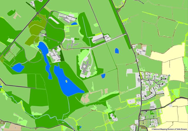
The Environmental Protection Agency have launched a National Land Cover Map of Ireland in partnership with Tailte Éireann (formerly Ordnance Survey of Ireland). It categorises over 10 million landscape features to help better understand development, habitat loss & climate change.
The aim of a land cover map is to map what is physically present on the Earth’s surface, which include surfaces like natural vegetation, freshwater and non-living surfaces. Grasslands, forest areas and artificial surfaces, are all examples of land cover types. It is important to note that land cover is different from land use. Land use specifically refers to how that land is used or the activity at that location. Uses can be environmental, economic, or social and are usually a result of human intervention or management.

This new land cover map will facilitate significantly improved monitoring and assessment of impacts and benefits for water, climate, air, noise and biodiversity, as well delivering support for better decision making on land management.
This Land Cover Map was produced based on 2018 data and is known as NLC 2018 and is summarised HERE. It provides details on the accuracy of the data and an initial assessment on how it changes our understanding of land cover statistics in Ireland.